
Trace an Ennis Street Directory
An address search works best as a chain, not as a single answer. Start with the current physical address, then use the property record to identify the parcel and recorded owner. The map supplies the parcel shape, nearby boundaries, and district context. A deed search can then move from the present owner to an earlier seller. An individual voter query can help confirm a registered voter when its matching fields are known, while historic directories can place a household at an earlier date. Each source has a different purpose, so record the date and identifier before moving to the next one.
- Search the exact situs address in the ECAD Property Search and save the Property ID, Geographic ID, legal description, and owner result.
- Locate that parcel in the county GIS viewer. Turn on parcels and relevant district layers, then use identify tools to read the map context.
- Search the owner as a grantee in the County Clerk index, comparing the lot, block, subdivision, or other legal description before accepting a deed.
- Use the Texas My Voter route only as an individual matching tool with name, county, date of birth, and ZIP. It is not a street-wide list.
- For an earlier address date, consult criss-cross directories, the library's house files, newspapers, and Sanborn maps alongside the deed trail.
That order keeps an Ennis street directory focused on documented parcel and date connections rather than assumptions about every person behind a door.
Match Ennis Address Keys
One Ennis address can appear in several forms. The situs address is the physical parcel location used by ECAD, GIS, and permits. A tax mailing address is simply where notices go, and it can be outside Ennis. Recorded deeds may instead use a subdivision, lot and block, abstract, survey, or metes-and-bounds description. Preserve directional prefixes, street suffixes, older name forms, ZIP, and cross streets. When a modern number does not appear in an older instrument, the legal description and a recorded plat are usually the better bridge.
- Parcel
- A mapped piece of land tracked by an appraisal or GIS system, usually with its own identifiers.
- Situs address
- The physical location of the parcel, distinct from the address where tax notices are sent.
- Plat
- A recorded map that lays out a subdivision, streets, lots, blocks, or easements.
- Criss-cross directory
- An address-arranged section of a dated directory used to identify the listed household or business at a number.
Ennis has no verified official citywide renumbering year in the available research. When an address trail breaks, compare old and current street names, nearby cross streets, lot and block, Sanborn sheets, and the legal description instead of assigning a date that has not been documented.
Read ECAD for Ennis Streets
ECAD is the starting point for a current Ennis street directory because it ties a property address to a property record. The live interface offers a broad Compound Text Search before its more specific choices. Results include Current Year, Property ID, and Owner Name, and the map exposes a Parcels layer with an Owner Name attribute. A parcel card should be read as an ownership and tax record. It does not establish a complete household roster, and a homestead exemption is only evidence consistent with owner occupancy.
| ECAD field | Input or control | Use for a street search |
|---|---|---|
| Compound Text Search | Account number, address, or owner name | Broad first pass when only one key is known |
| Name | Owner name, begins operator | Owner-focused parcel search |
| Property ID | Exact-match identifier | Return to one saved property result |
| Owner ID | Exact owner identifier | Separate owners with similar names |
| Geographic ID | Begins operator | Match the GIS or property identifier |
| Reference ID | Begins operator | Use a reference carried from an earlier result |
| Tax Office ID | Match operator | Refine a tax-office identifier |
| Property Address | Property address, mlike operator | Search a known Ennis address string |
| Advanced Search | Street, owner, legal description, abstract, subdivision or condo | Combine details and choose sort or order controls |
ECAD does not publish a dedicated basic ZIP field in the captured interface. Use the address and advanced controls as rendered, and do not represent a result list as a complete resident roster for a whole street.
Map Ennis Streets in GIS
Ellis County GIS and 9-1-1 Addressing is the county steward for geospatial data and addressing, while the city GIS page supplies Ennis city and county map context. In the public ArcGIS portal, the documented route is to open EllisCo_External_2, use the layer-list icon, and select district layers. Pan, zoom, identify, and selection tools put a parcel in context. The static sources did not confirm a complete search-field or layer catalogue, so treat the map as a spatial reference and confirm ownership in ECAD or the recorder index.
The Ellis County GIS and 9-1-1 Addressing portal is the source for this parcel-viewer view.
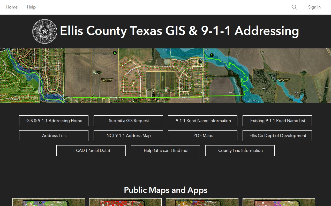
A map view helps separate parcels that share a street name or sit near a city, precinct, zoning, flood, or addressing boundary.
The Ennis City and County GIS page provides the city-side map context.
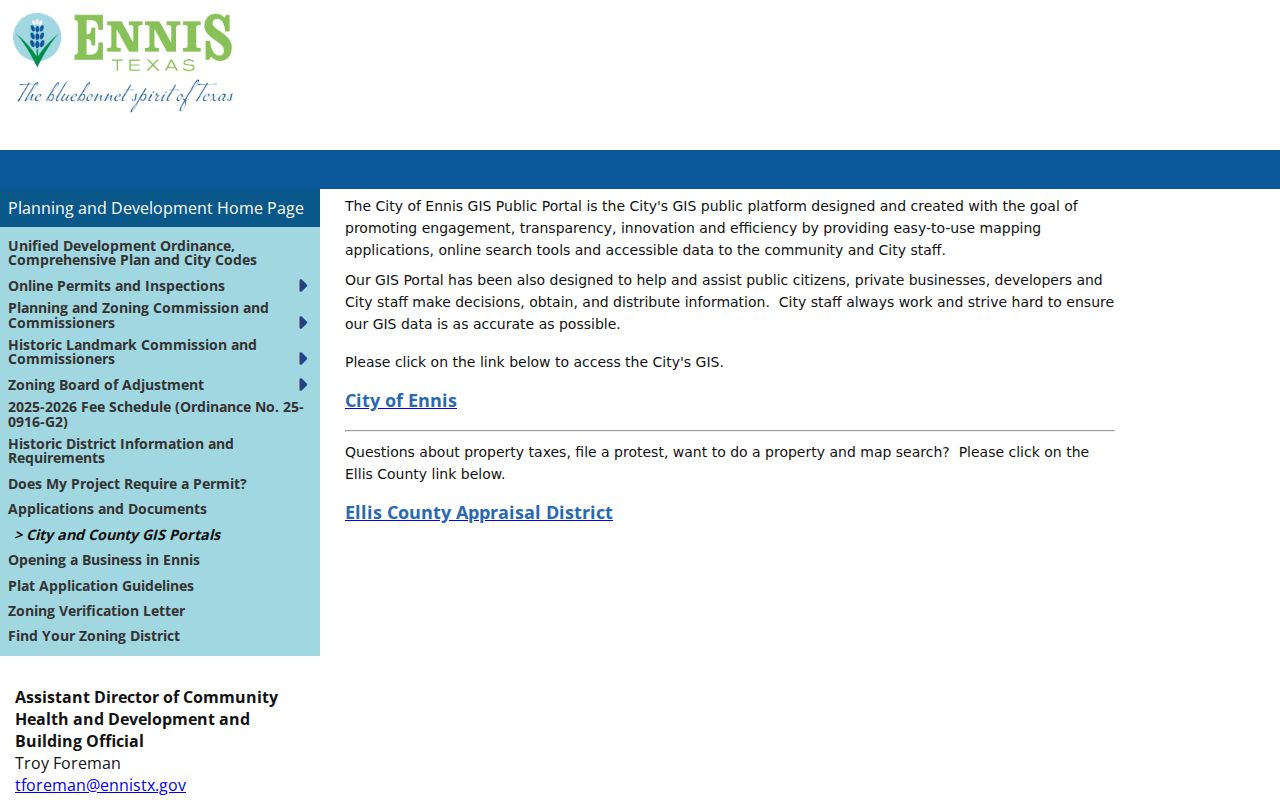
Use the city and county maps to orient an address, then carry the saved identifier back to ECAD or the recorded-instrument search.
Use the Ennis Deed Index
A current owner name and legal description create the handoff to the Ellis County Clerk's recorded records. In the LGS online record index, search the owner as a grantee or buyer, then use the seller as an earlier grantee and repeat backward. Compare the legal description, subdivision, lot or block, recording date, and document placement at each step. Older deeds may not use a modern street number. A same-name hit without the matching parcel description is not a reliable link in the chain.
When the online path ends, use the County Clerk recording counter or public terminals, then move to the Texas State Library and Archives Commission Ellis County microfilm. That archive confirms deed records for 1845 through 1901 with direct and reverse indexes. Keep the index and the instrument together because historic transcriptions are not always exact.
Ennis Street Directory Records
Address-keyed sources answer different parts of a street question. ECAD anchors a current parcel. GIS shows its shape and context. The clerk's records document title instruments. City systems can establish work or request dates, and historical sources add dated household clues. The coverage below keeps those distinctions visible so that an owner record, a permit participant, and a directory entry are not treated as the same thing.
| Address-keyed source | What it can show | Ennis access route |
|---|---|---|
| ECAD property roll | Owner, tax mailing versus situs address, identifiers, value, exemptions, legal description | Dynamic property search and map |
| Ellis GIS | Parcel geometry, district layers, addressing, adjacent parcels | Public ArcGIS portal |
| Recorded deed or plat | Parties, legal description, recording placement, lot or block | LGS index, clerk counter, or historic reels |
| Texas My Voter | Individual registration, precinct, district, or polling information | Name, Ellis County, date of birth, and ZIP match |
| Ennis permit record | Public applicant, contractor, owner, address, work dates, or inspection context | OpenGov when visible, otherwise a focused PIA request |
| Criss-cross directory | Dated address-to-household or business listing | Library, TSLAC, UT, or Portal to Texas History routes |
For current street work, start with one parcel at a time. The property identifier and legal description connect the map to the deed chain more reliably than a street name alone.
Check Ennis Historic Addresses
The Ennis Heritage Society directs address research toward city and criss-cross directories, the library Archives Collection and address-indexed house files, the 1986 and 1997 historic-resource surveys, ECAD transfers, Sanborn maps, census schedules, newspapers, and courthouse records. The verified TSLAC holdings for Ennis city directories are 1968 and 1975. The wider printed run and publisher history were not confirmed, so a request to the library or TSLAC should name the street, number, and year range rather than assume a volume exists.
Sanborn maps cover Ennis irregularly from 1884 through 1940. They can show building outlines, street labels, stories, materials, and outbuildings, which makes them useful when a deed uses a legal description rather than a familiar number. Federal census schedules become public under the 72-year rule. Pair a directory date with a census period, but treat both as snapshots rather than proof of a continuous residence. The historical volumes are addressed in more depth on the Ennis City Directories page.
Review Ennis Permit Addresses
Ennis Planning and Development moved permit applications and inspection scheduling to OpenGov on June 5, 2024. A public permit result, when available, may supply an address, work date, and named participant. It is dating evidence, not a list of people who live at the property. The public landing information did not establish a historical results search or a public field inventory. For an older file that does not appear online, request an existing record through the city Public Information process with the address, record type, and date range.
Service and code requests through Ennis 311 can show an issue, department, and tracking status. They are likewise not a resident roll. A focused request avoids asking the city to create a record and helps staff locate an existing file.
Note: Address-specific permit and request records need a date and property context before they can be compared with ownership or historic-directory evidence.
Find Ennis Historic Overlay Records
Historic designation can add another address trail. Historic Overlay No. 1 is the Templeton-McCanless area, and Overlay No. 2 is downtown. The city and Heritage Society describe two historic districts and neighborhood conservation districts. Exterior work visible from a public right of way, demolition, or relocation can require a Certificate of Appropriateness. Those records may identify a property and a releasable applicant, but they are not evidence of every resident connected with an address.
The Ennis Historic District Requirements page is the source for the certificate process and historic-district guidance.
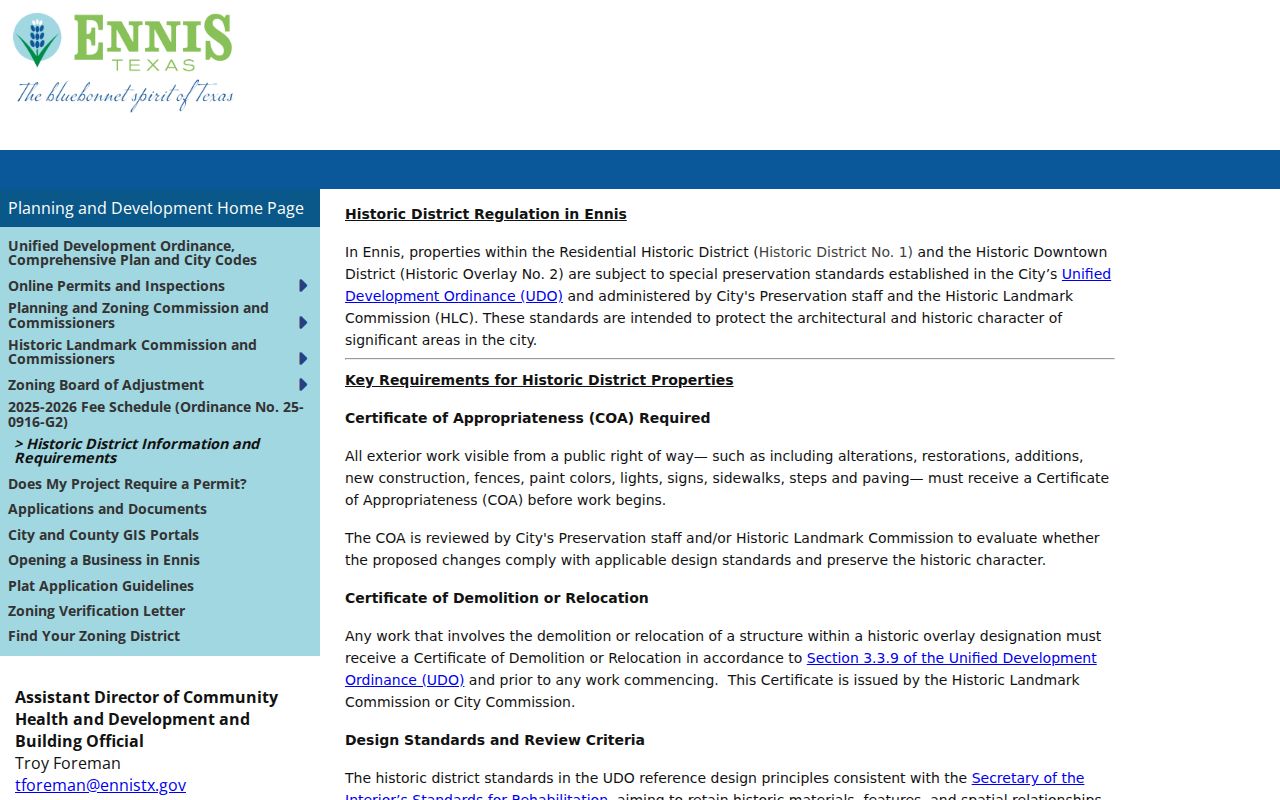
Check the city zoning or floodplain map and official records for the particular property, then compare the certificate date with permits, deeds, and survey materials.
Compare Ennis Voter Clues
Texas My Voter uses name, county, date of birth, and ZIP for an individual query. It can confirm registration status and polling, precinct, district, or other voter details selected for public display. It does not produce a street map of every registrant, display ballot choices, or expose protected addresses, full date of birth, Social Security numbers, driver-license or DPS ID numbers, or voter source codes. Texas does not register voters by party, so party affiliation should not be inferred from a match.
Ellis County also accepts lawful voter-file requests through its form, subject to confidential-voter fields and the required use notice. Current precinct geography matters: the county approved 2025 changes that split precinct 1006 into 1006 and 1060 along Highway 77, and precinct 1038 into 1038 and 1061 along South 14th. Confirm the current precinct for a specific address rather than relying on an older card or directory note.
Ennis Street Directory Limits
A public parcel or voter match is not a complete list of everyone at an address or on a block. Property records identify owners and tax-mailing destinations. Voter records may reflect one registered person and can be protected or out of date. City permit applicants, contractors, and code requesters are not automatically an owner or occupant. Motor-vehicle address data is restricted by the Driver's Privacy Protection Act, and utility customer data is not a public resident directory. Treat historical newspaper addresses as dated clues, especially where street numbers or postal conventions changed.
Lawful use. Use Ennis address records for lawful personal research and verify important facts with the custodian. Do not use public-record fragments to stalk, harass, threaten, or harm anyone.