
Ennis ZIP Code Directory Coverage
USPS material groups three current ZIP codes with Ennis, but it does not establish a municipal boundary for each one. The table keeps the official postal wording separate from a claim about city limits. Use the complete-address tool before sending mail, comparing a parcel, or searching a record. The postal group can include delivery geography outside the city, and the research does not establish an exclusive city-boundary role for 75120 or 75152.
| ZIP | Areas covered | Post office | Notes |
|---|---|---|---|
| 75119 | Ennis city and main postal grouping | USPS label container ENNIS TX 75119 | Verify city-limit coverage by complete address |
| 75120 | Associated with the Ennis postal grouping | USPS Ennis grouping | Exact city, PO Box, or route role was not established |
| 75152 | Grouped with Ennis in USPS label data | USPS label grouping ENNIS TX 75119 | May include surrounding delivery geography |
| 75105, 75125, 75141, 75155, 75159, 75172 | Former assignments moved to Ennis 75119 | Ennis TX 75119 after the change | Keep old ZIPs in historical searches |
The USPS FAST material lists 75119 through 75120 and 75152 under the Ennis grouping. That label supports a postal association, not an inference about every address or person within a city line.
Verify Ennis Postal Addresses
A complete address is the right starting point for postal verification. Use the USPS address lookup with the full street address or with city and state, rather than relying on a label-file grouping. That step catches differences between a mailing city, a physical location, and an older address notation before the address is used in ECAD, GIS, a voter query, or a historical search.
The USPS official address-verification screen is the source for this Ennis postal lookup image.
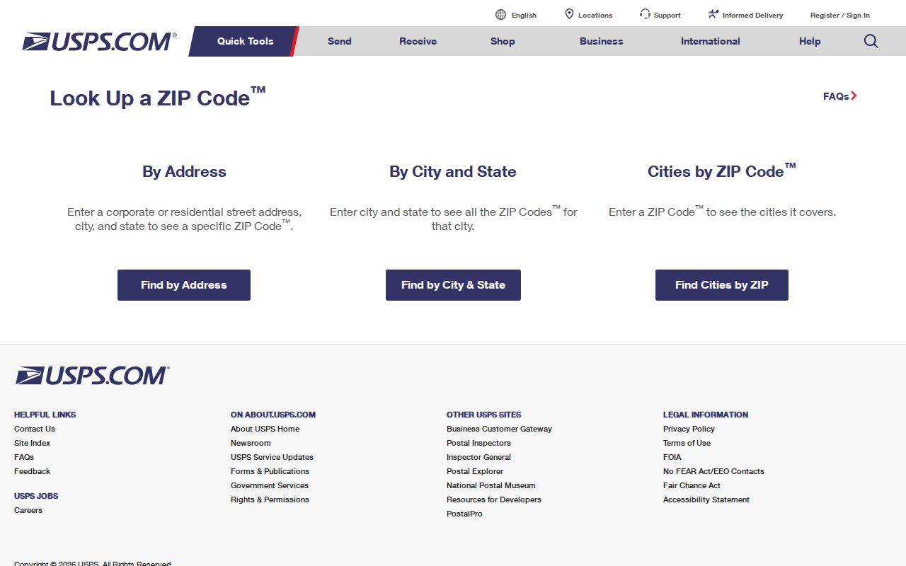
Enter the address as completely as possible, then retain the returned ZIP with the street and city wording used by USPS.
Track Ennis Postal Changes
A 2025 USPS Postal Bulletin moved deleted ZIP assignments 75105, 75125, 75141, 75155, 75159, and 75172 to Ennis TX 75119. This is especially useful for family-history and property research. An older newspaper notice, directory listing, or recorded instrument can retain the former postal string even when current mail is assigned to 75119. Search both the historic and current ZIP, then compare the street address and legal description before joining records.
The USPS Postal Bulletin notice documents those reassigned ZIPs. It changes the postal trail, not the legal description in a deed or the underlying municipal geography.
The USPS label-details page is the source for the Ennis postal-label view.
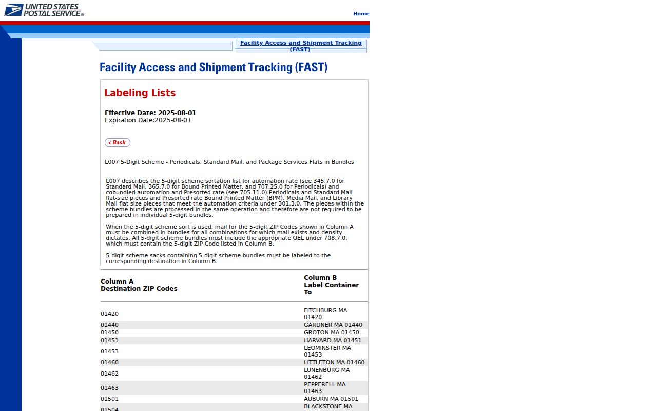
The label detail shows the 75119 to 75120 Ennis grouping. It should be read with the address lookup, not as a map of city boundaries.
Search Ennis Postal History
Historic postal strings are one part of an address trail. The Ennis Daily News collection on the Portal to Texas History contains 10,345 digitized items across five titles and ten decades, with material from the 1890s through the 1970s and the 2010s. Search an old and current postal string alongside the street name, cross streets, owner name, and legal-description terms. A newspaper mention can reveal a date, spelling, civic notice, or address variant, but it should be checked against a parcel record, deed, directory, or custodian-held file.
The Ennis Public Library genealogy and regional-history resources point researchers to the Portal to Texas History, Sanborn maps, Library of Congress material, and state archives. Sanborn sheets can help compare street labels and the physical footprint of a property when a historical item uses a different postal convention. The verified TSLAC Ennis directory holdings are 1968 and 1975. Do not assume an unverified volume or postal label covers every year.
Search Ennis by ZIP Code
A ZIP works as a narrowing key, not as a ZIP-wide resident roll. Verify it first, then take the address into ECAD for its situs and legal description, use GIS for city or county context, and use a voter query only when the individual matching details are known. A deed or historic source may retain another postal form, so keep both values in the research notes.
- Verify the complete mailing address in USPS address lookup and save the postal city and ZIP returned.
- Search the physical address in ECAD. Preserve the situs address, Property ID, Geographic ID, and legal description instead of assuming the mailing ZIP defines the parcel.
- Open the address in the Ellis GIS viewer and inspect city, county, precinct, zoning, flood, or addressing context where available.
- For a named individual, use the Texas My Voter inputs as a match. Do not turn the ZIP into a list of all people in the delivery area.
- For an older address, search the former and current ZIP beside street, cross-street, lot, block, and newspaper or directory variants.
Once a postal area narrows the address, the Ennis By Street directory provides the parcel-by-parcel workflow for the actual street record trail.
Use Ennis Postal Search Fields
ECAD and Texas My Voter handle ZIP information differently. The ECAD interface captured several address and identifier modes but no dedicated basic ZIP field. Its Advanced Search may expose address-related controls as rendered by the live portal, although the research did not verify a ZIP-wide result behavior. My Voter uses ZIP as one part of an individual identity match, alongside name, county, and date of birth. Neither route supports a claim that it produces every person in a ZIP.
| Portal | Captured field | ZIP-related use and limit |
|---|---|---|
| ECAD | Compound Text Search | Account number, address, or owner name; use the full address, not a dedicated ZIP field |
| ECAD | Property Address | Property-address input with mlike operator; postal matching should be confirmed separately |
| ECAD | Advanced Search | Street, owner, legal description, abstract, subdivision or condo controls; ZIP filter was not confirmed |
| Texas My Voter | Name | Registered-name input for the individual match |
| Texas My Voter | County | Select or enter Ellis County for an Ennis query |
| Texas My Voter | Date of Birth | Used for matching; full date is not a public display field |
| Texas My Voter | ZIP Code | Postal ZIP used for matching, not a ZIP-wide public roll |
Use the ECAD Property Search for parcel work and the Texas voter-registration route for the official individual lookup path.
Map Ennis Postal Context
Ellis County GIS and 9-1-1 Addressing manages countywide geospatial data, the North Central Texas 9-1-1 Addressing GIS database, and address data. Ennis Planning and Development provides city GIS context. The county portal can help distinguish city and county context, precincts, zoning, floodplain, and other layers, but its inspected static pages did not establish a full layer catalogue or a postal-boundary search tool. A parcel map explains geographic context; it does not convert a postal ZIP into a municipal line.
The documented ArcGIS route is to open EllisCo_External_2, open the layer list, and choose district layers. If an address falls near a jurisdictional boundary, verify the exact parcel with the Ellis County GIS portal and then compare it with the USPS result.
Note: A postal city can reach unincorporated Ellis County, while city and county records use jurisdiction and parcel data rather than a ZIP label alone.
Set Ennis ZIP Code Boundaries
Ennis ZIP, city-limit, and county geography are not identical. USPS uses ZIPs for mail routing, while a city boundary is a legal jurisdiction and a parcel boundary is a property record. The Ennis group includes 75119, 75120, and 75152, but the researched USPS material does not establish an exact city-boundary role for 75120 or 75152. Use the complete-address lookup, ECAD situs and legal description, and GIS layers together when the location of an address matters.
- ZIP versus ZIP+4
- A ZIP identifies a postal delivery area. ZIP+4 adds a more precise delivery segment to the basic ZIP.
- PO Box ZIP
- A ZIP used for post-office-box delivery rather than as proof of a physical street location. The researched sources did not establish a specific Ennis PO Box role for 75120.
- Unique ZIP
- A ZIP assigned to a single organization or location. No Ennis unique ZIP was established in the researched USPS material.
- Carrier route
- A postal delivery sequence used to sort mail. It is not a city boundary, precinct, or list of residents.
A postal directory is useful for address verification, but it is not a substitute for a parcel, city-limit, or election map.
Check Ennis ZIP and Precincts
Postal geography and election geography change independently. Ellis County approved precinct revisions on April 15, 2025: precinct 1006 was divided into 1006 and 1060 along Highway 77, while 1038 was divided into 1038 and 1061 along South 14th. An older voter card, newspaper item, or directory annotation can therefore carry a precinct clue that no longer matches the current address context.
Ellis voter-card information identifies the Ennis city and ISD code as ENN. Use that code and the current individual voter result as supporting civic context, not as a substitute for postal confirmation or as proof of every person at an address.
Keep Ennis ZIP Code Limits
A ZIP search cannot produce a complete list of residents in a delivery area. It cannot establish who receives mail at every address, who is registered to vote, or how every parcel is occupied. Individual voter matches can be protected, registration can lag a move, and ballot choices are not public. A tax mailing address may point outside Ennis even when the situs parcel is local. Historic directory and newspaper addresses are useful dated clues, but a deed, property card, or custodian-held record may be needed to verify the underlying fact.
Use with care. Verify important Ennis ZIP and address facts with USPS and the responsible records custodian. Do not use public-record fragments to stalk, harass, threaten, or harm anyone.